![Item #1999 Decorative and Printed Maps of The 15th To 18th Centuries A Revised Edition of Old Decorative Maps and Charts [A.L.Humphreys]. R. A. Skelton.](https://royoung.cdn.bibliopolis.com/pictures/1999.jpg?width=768&height=1000&fit=bounds&auto=webp&v=1508032370)
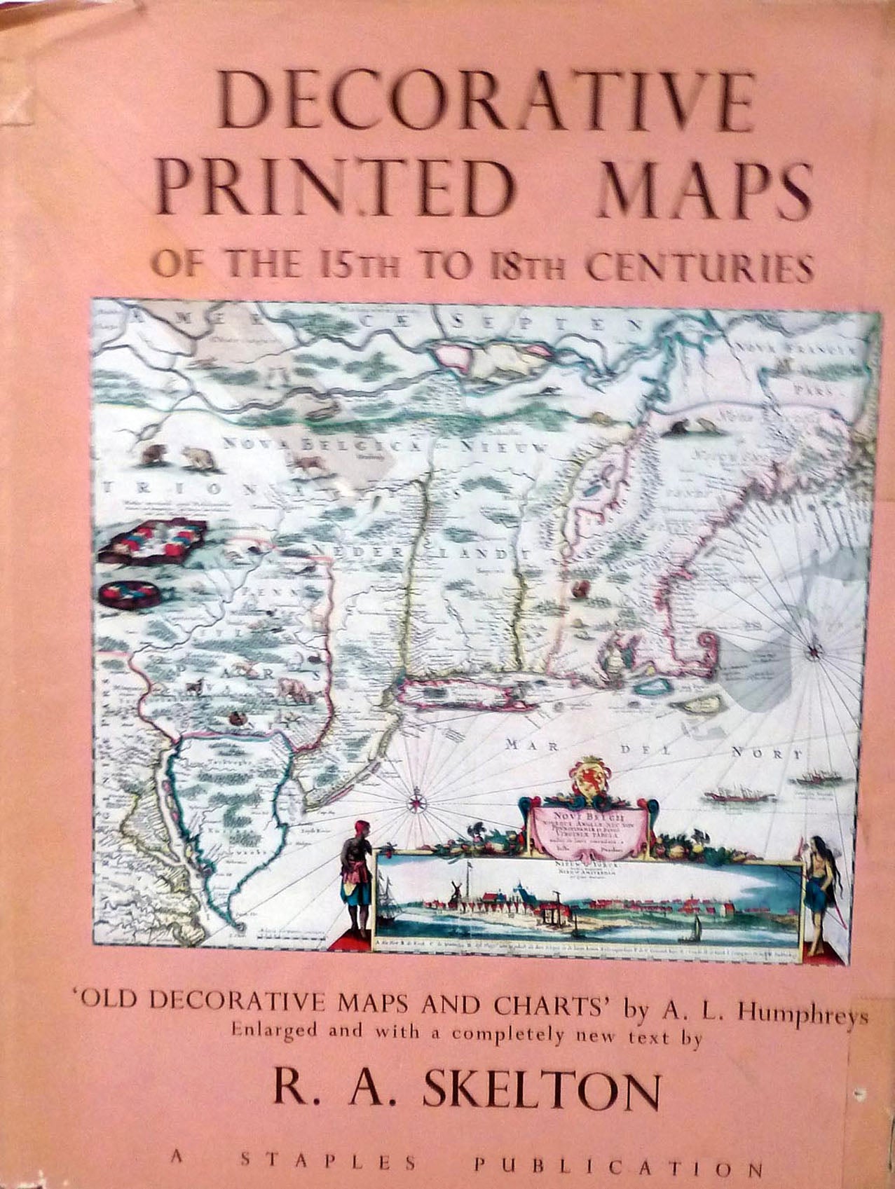
Decorative and Printed Maps of The 15th To 18th Centuries A Revised Edition of Old Decorative Maps and Charts [A.L.Humphreys]
London: Staples Press, 1952. First edition. Hardcover. 4to, 80 pages in text with eighty-four reproductions (twelve in color) and a new text by R.A. Skelton. General Bibliography. Provides a survey of maps printed from copper plates or wood-blocks. Twenty-two reproductions are new to this work. Orig. maroon cloth. Very good in worn dust wrapper. Item #1999
Price: $65.00
See all items by R. A. Skelton